Automated monitoring system
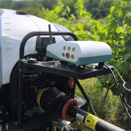
Double-sided camera
Computer Vision Algorithms
GPS localization
Lighting system (for working even at night)
High speed monitoring (20-50 km/h)
Real-time AI predictions
Configurable and modular design
Automated monitoring system
Double-sided camera
Computer Vision Algorithms
GPS localization
Lighting system (for working even at night)
High speed monitoring (20-50 km/h)
Real-time AI predictions
Configurable and modular design
Production maps
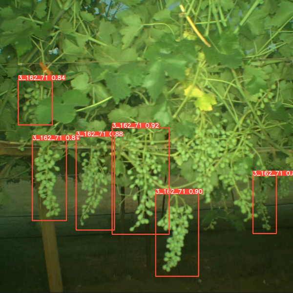
Fruit counting
Detectionof flowers, inflorescences and fruits
Yield forecast 2-3 months before harvesting
Production Maps
Fruit counting
Detectionof flowers, inflorescences and fruits
Yield forecast 2-3 months before harvesting
Vegetative Vigor Maps
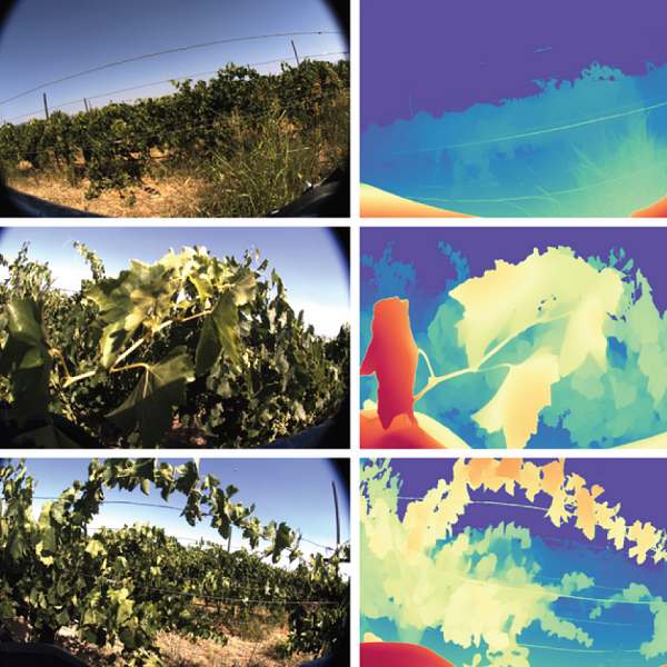
Plant-level vigor mapping
Leaf discoloration
Canopy growth ( leaf wallarea )
Detection ofdead plants
Vegetative Vigor Maps
Plant-level vigor mapping
Leaf discoloration
Canopy growth (leaf wall area)
Detection ofdead plants
VRA applications
Plug & play with ISOBUS sprayers
Spray On/Off
Real-timedosage adjustment (L/ha)
Application maps
VRA applications
Plug & play with ISOBUS sprayers
Spray On/Off
Real-time dosage adjustment (L/ha)
Application maps

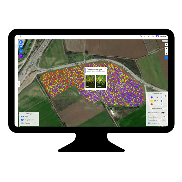
Visualization Dashboard
Monitor the data generated after each operation
Get yield and diseaseinformation
Generate prescription maps
Plan crop operations with precision
Visualization Dashboard
Monitor the data generated after each operation
Get yield and disease information
Generate prescription maps
Plan crop operations with precision
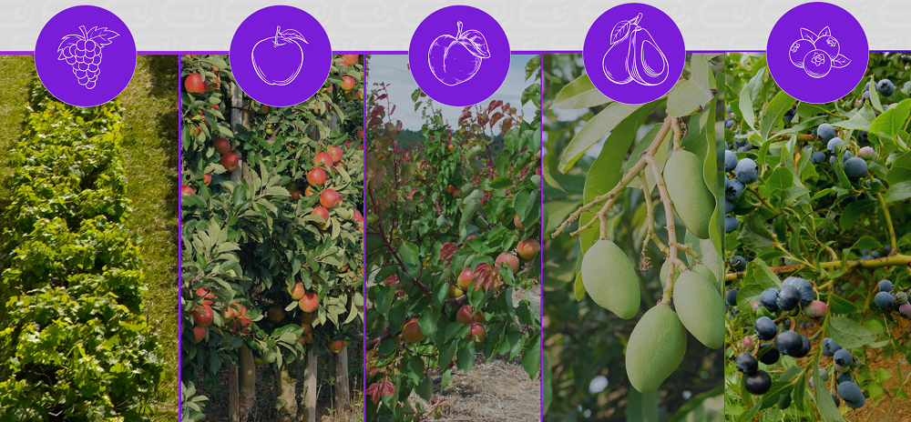
Available Crops
Available Crops
