


Our image-based decision support systems.
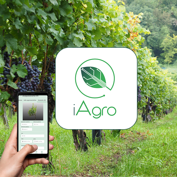
iAgro
The first DSS app to independently create vigor maps and optimize treatments in tree crops, just using your smartphone
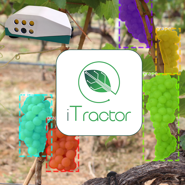
iTractor
The tractor or farm machinery chamber for monitoring tree crop health, counting fruit, calculating yield, and identifying diseases using AI algorithms
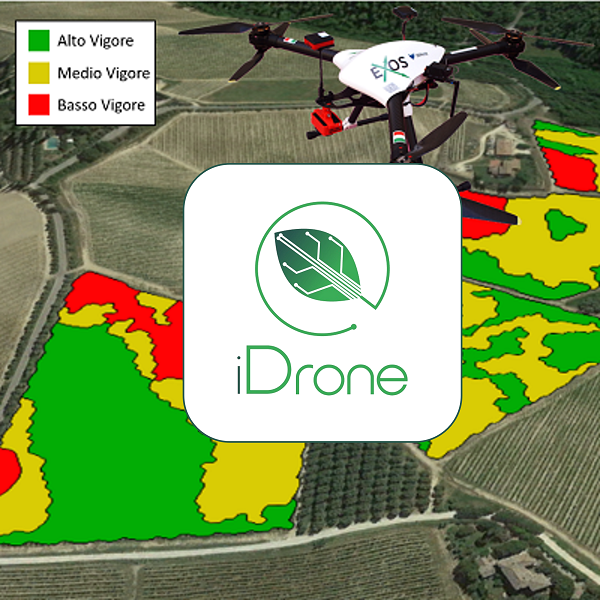
iDrone
The drone service equipped with multispectral and thermal sensors to increase productivity and optimize crop operations with vigor and thermal maps
Drones and Sensors
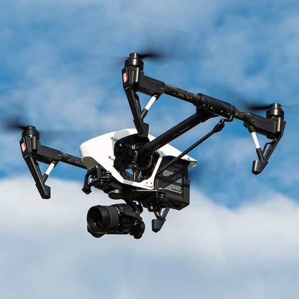
Drones
DJI commercial drones and customizable drones for every need
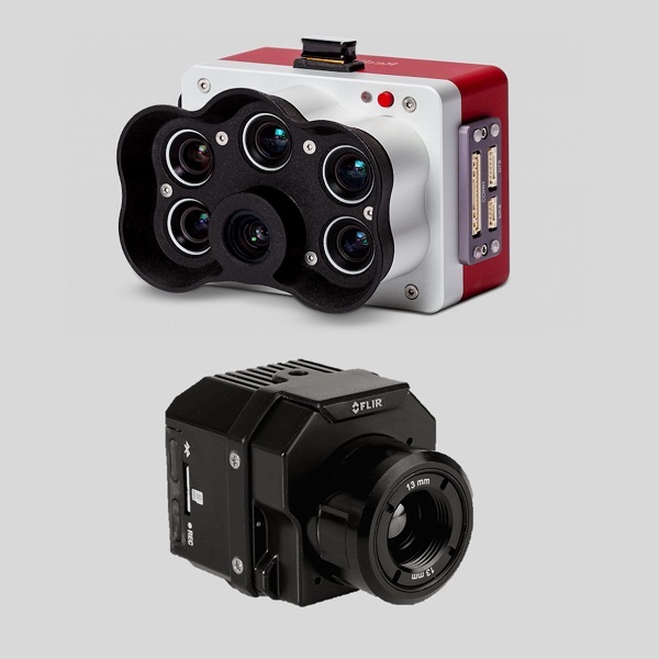
Sensors
Multispectral sensors and thermal cameras that can be integrated on drones
Predictive Models and Field Sensors
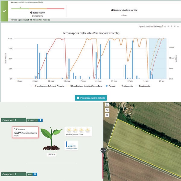
Weather-based DSS
Forecasting models for phenology, fertilization, irrigation, and to prevent disease and insect development
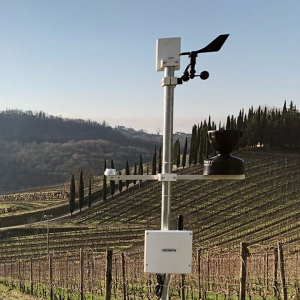
Field Sensors
Field sensors to monitor soil moisture and temperature and manage water resource
Management
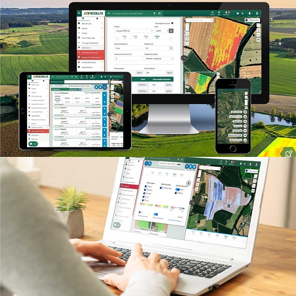
Agricolus
The complete agritech platform to manage your farm 360 degrees
Software

Pix4D
The most powerful drone photogrammetry software to generate maps and models for precision agriculture