Aerial Photogrammetry
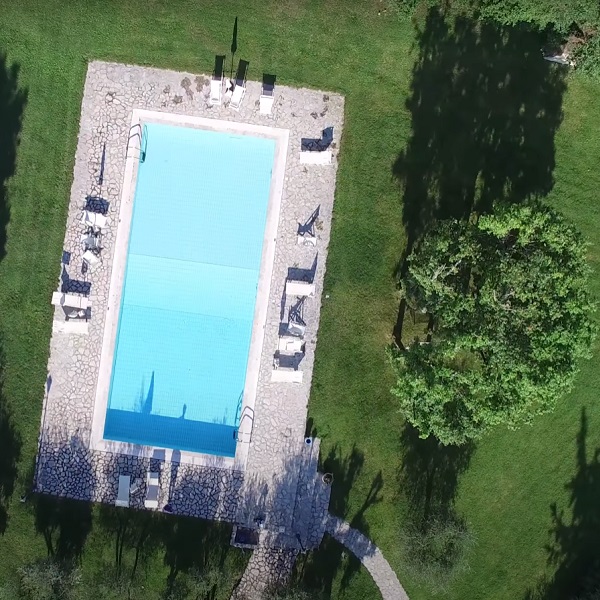
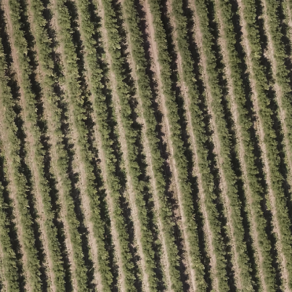
Visible Maps (RGB)
Digital models (DEM, DSM)
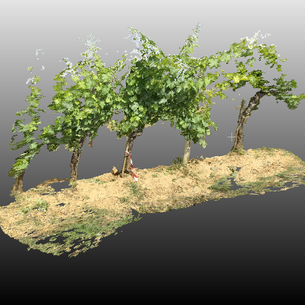
3D Models
Plant counting
Bankruptcy count
Measurement of vegetated area
Measurement of distances, areas, volumes
Aerial Photogrammetry
Visible Maps (RGB)
Digital models (DEM, DSM)
3D Models
Plant counting
Bankruptcy count
Measurement of vegetated area
Measurement of distances, areas, volumes
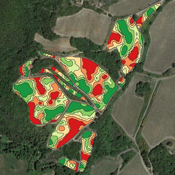
Vigor Maps
Multispectral maps
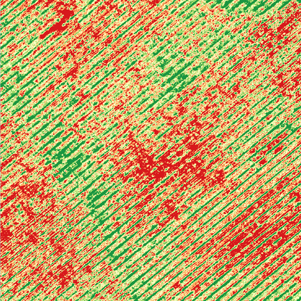
Vigor Maps (NDVI, NDRE, OSAVI)
Chlorophyll Maps (GNDVI, MCARI, TCARI)
Identification of stressed and deficient areas
Zoning of vegetative vigor
Vigor Maps
Chlorophyll Maps (GNDVI, MCARI, TCARI)
Identification of stressed and deficient areas
Zoning of vegetative vigor
Water Stress Maps
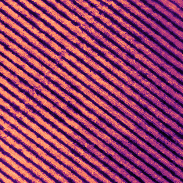
Temperature maps
Water Stress Maps (CWSI)
Identification of water-stressed areas
Temperature zonation
Water stress zonation
Water Stress Maps
Temperature maps
Water Stress Maps (CWSI)
Identification of water-stressed areas
Temperature zonation
Water stress zonation
Differentiated fertilization map
Map of differentiated treatments
Differentiated fertilization map
Map of differentiated treatments
Data Processing
Photogrammetric processing
Data processing from drone
Generating maps and models
Geospatial analysis and statistics
Generating agronomic reports
Data Processing
Photogrammetric processing
Data processing from drone
Generating maps and models
Geospatial analysis and statistics
Generating agronomic reports
Promotional Videos
Promotional videos from drone
High-resolution aerial photos
Video editing and music
Advertising content creation
Promotional Videos
Promotional videos from drone
High-resolution aerial photos
Video editing and music
Advertising content creation
