Training
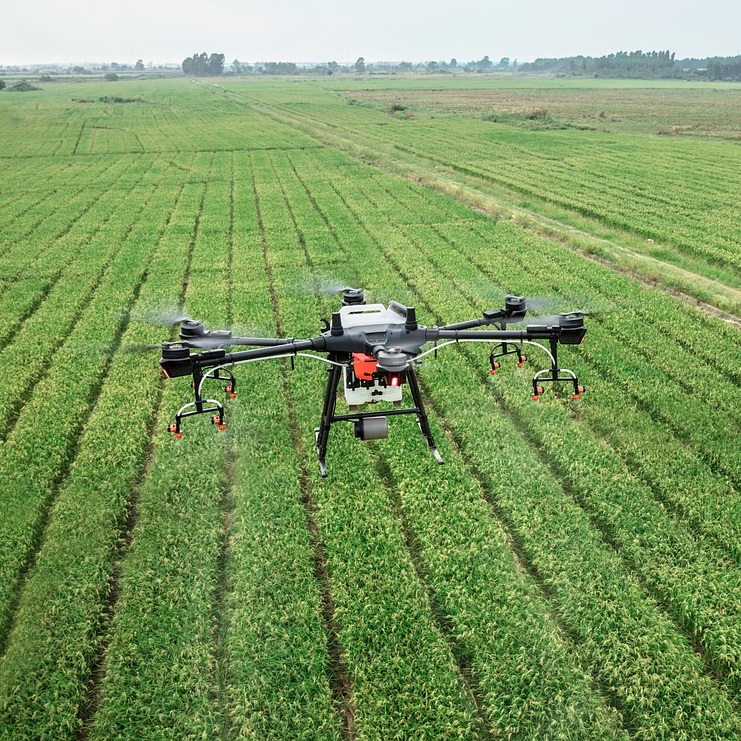
Thanks to our team’s cross-disciplinary and multidisciplinary skills and years of experience in training, we organize courses specifically for precision farming in collaboration with flight schools and agricultural technical institutes. Our courses are aimed at agronomists, land surveyors, agrotechnicians, farms, trade associations and agricultural consortia.

Course in precision agriculture
Course on Pix4D software
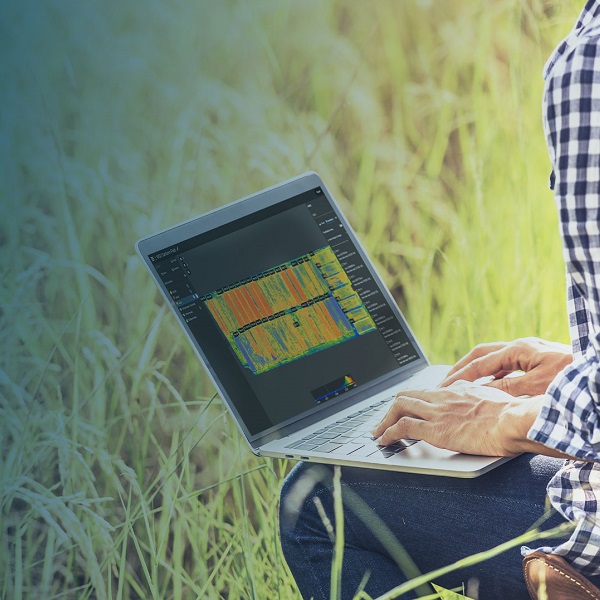
The course aims to provide the methodologies of multispectral and thermal image acquisition and processing in order to obtain calibrated vegetation index and water stress maps and prescription maps for field operations. Pix4D photogrammetry software and QGis software for advanced data and map analysis are explained.
The course aims to provide the methodologies of multispectral and thermal image acquisition and processing in order to obtain calibrated vegetation index and water stress maps and prescription maps for field operations. Pix4D photogrammetry software and QGis software for advanced data and map analysis are explained.


Agrobit Academy
Agrobit Academy is free online training available in short videos on our YouTube channel. Check out all of our concise and small information pills on the world of precision agriculture.
Agrobit Academy is free online training available in short videos on our YouTube channel. Small information pills on the world of precision agriculture.

