by Antonio Donnangelo
Condividi

Il gemello digitale del vigneto per supportare le decisioni dei viticoltori
Introduzione
iVine è un progetto della durata di due anni (2023-2024), finanziato dal PSR Regione Toscana 2014-2020 – sottomisura 16.2, che ha come scopo il testing, la validazione e il collaudo di un’app DSS per dispositivi mobili per la razionalizzazione della gestione del vigneto e per l’ottimizzazione e la riduzione dell’utilizzo di fitofarmaci, al fine di ridurre l’impatto ambientale, salvaguardare la salute di lavoratori e popolazioni rurali e ridurre i costi gestionali per le aziende agricole.
Il progetto ha come capofila Agrobit, con la partecipazione dell’Università degli Studi di Firenze (DAGRI), l’Istituto per la BioEconomia del Consiglio Nazionale delle Ricerche (CNR-IBE), CIA (Agricoltori Italiani Toscana), Mulini di Segalari (azienda vitivinicola di Bolgheri), Felsina (azienda vitivinicola del Chianti Classico) e la Demo Farm regionale Tenuta di Cesa.
Obiettivi del progetto
Gli obiettivi del progetto possono essere così riassunti:
1. Validare un’app DSS per dispositivi mobili in grado di supportare l’agronomo/imprenditore agricolo nella valutazione rapida ed oggettiva dello sviluppo dell’apparato aereo delle colture arboree, in particolare vite, per l’ottimizzazione di interventi di gestione della chioma e distribuzione di input agronomici, quali fitofarmaci ma anche concimi fogliari e acqua
2. Monitorare l’efficacia dei trattamenti, i consumi di fitofarmaci e acqua evidenziati dall’utilizzo dell’app ed i costi necessari nelle diverse fasi per il raggiungimento degli obiettivi stabiliti;
3. Valutare l’efficienza del rapporto costi/benefici e dell’impatto ambientale ed economico prodotti dall’impiego dell’app e dalla distribuzione ottimizzata dei fitofarmaci, rispetto ad una gestione tradizionale realtà vitivinicole di diversa dimensione aziendale e in differenti areali viticoli regionali.
Come funziona l’app iAgro
L’app iAgro, installata su uno smartphone, permette all’operatore di eseguire una scansione 3D della pianta oggetto di indagine in modo automatico, rapido e semplice. Durante questo processo, l’app utilizza la fotocamera dello smartphone e algoritmi di realtà aumentata (AR) per acquisire tutte le informazioni necessarie, sfruttando anche i sensori integrati di movimento e posizione dello smartphone. Questi sensori consentono all’app di registrare i cambiamenti di posizione e orientamento del dispositivo durante la scansione. Inoltre, l’app georeferenzia tutte le informazioni acquisite, cioè associa i dati rilevati alla posizione di ciascuna pianta. Una volta terminata l’acquisizione, grazie ad algoritmi di intelligenza artificiale (AI) e computer vision (CV), l’app restituisce in maniera automatica i parametri biometrici della chioma (spessore, altezza, volume, LAI) e i parametri generalizzati del vigneto (LWA, TRV) (Fig. 1). Queste informazioni vengono poi utilizzate in automatico per generare delle mappe di prescrizione per ottimizzare i trattamenti fitosanitari, riducendo l’impatto ambientale, salvaguardando la salute delle persone e migliorando la sostenibilità economica delle aziende vitivinicole.

Fig.1: shermate dell’app iAgro, testata e validata all’interno del progetto iVine.
I rilievi in campo
Una volta individuati i vigneti di prova, si è proceduto alla suddivisione del vigneto in 2 aree uguali in cui eseguire il monitoraggio (Fig.2). In una parcella sono stati eseguiti i trattamenti fitosanitari a rateo fisso tradizionali dell’azienda, nell’altra sono stati eseguiti i trattamenti a rateo variabile, come suggerito dall’app iAgro.

Fig.2: vigneti test con loro estensione e localizzazione.
Durante l’implementazione del progetto, sono state adottate diverse tecnologie e metodologie per condurre le analisi di validazione dell’app.
Nello specifico, i rilievi sono stati eseguiti in tre differenti fasi fenologiche.
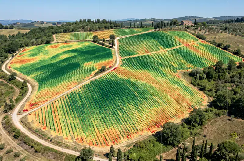
Agrobit ha monitorato dieci piante campione per ciascuna area di studio utilizzando l’app iAgro. Grazie all’app, è stato possibile generare mappe di vigore del vigneto, attraverso il calcolo di indicatori vegetazionali come il LAI (Leaf Area Index), nonché dei parametri biometrici della chioma, tra cui altezza, spessore e volume della stessa (Fig. 3).

Fig.3: rilievo con l’app iAgro su filare di vigneto Sangiovese.
Per valutare l’efficacia dell’app e validarla, i risultati ottenuti sono stati messi in correlazione ai dati ricavati da CNR-IBE e dall’Università di Firenze (DAGRI):
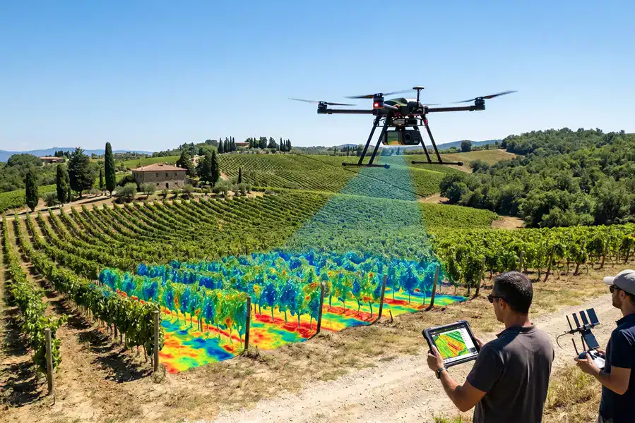
– Il CNR-IBE ha impiegato un drone con sensore multispettrale e RGB/LiDAR per generare mappe di vigore tramite indicatori vegetazionali (NDVI) e stimare parametri biometrici dello sviluppo fogliare, quali altezza, spessore e volume delle chiome dalle nuvole di punti 3D generate;
– L’Università di Firenze (DAGRI) ha utilizzato un sensore multispettrale prossimale (OptRx) montato su quad, per la valutazione della vigoria attraverso indicatori vegetazionali (NDVI, NDRE) e un sensore LiDAR per valutare i parametri biometrici dello sviluppo fogliare, tra cui altezza, lo spessore e il volume delle chiome. Per la precisa geolocalizzazione dei dati rilevati è stato utilizzato un ricevitore D-GNSS.
Per ognuna delle metodologie (smartphone, drone, quad), sono state create mappe di vigore e mappe biometriche in tre classi che riflettono le caratteristiche delle piante dell’area di test. Dai risultati sono emerse buone correlazioni tra parametri di vigore e biometrici ottenuti dai tre metodi utilizzati, che suggeriscono l’affidabilità dell’app nella stima di tali parametri.
Infine, utilizzando i dati provenienti dagli smartphone, sono state sviluppate delle mappe di prescrizione per ottimizzare trattamenti fitosanitari, con una zonazione in due/tre classi per eseguire trattamenti a rateo variabile (VRT) (Fig. 4).

Fig.4: mappa di prescrizione generata dall’app iAgro nelle tre fasi fenologiche nelle due zone con rispettivi valori di applicazione a rateo variabile (in tonalità di blu) e applicazione a rateo fisso (in arancione) nella parcella di controllo.
Efficacia dei trattamenti a rateo variabile (VRT)
L’app iAgro permette di ottenere mappe di prescrizione per i trattamenti fitosanitari che possono essere inserite direttamente su macchinari VRT. Durante il progetto, per verificare l’efficienza del rapporto costi/benefici e dell’impatto ambientale ed economico prodotti dall’impiego dell’app, sono stati condotti dei test per valutare le differenze tra i trattamenti aziendali tradizionali (a volume fisso) e quelli consigliate dall’app iAgro (a rateo variabile).
Le prove sono state realizzate mediante l’applicazione di cartine idrosensibili e di un prodotto tracciante, seguendo la procedura standardizzata a livello internazionale (ISO 22522).
In particolare, le prove hanno previsto:
1. La valutazione quantitativa di liquido distribuito nelle diverse fasi fenologiche e di sviluppo;
2.La valutazione quantitativa del deposito mediante l’uso di un tracciante durante l’irrorazione, seguito dal prelievo delle foglie e la verifica della superficie/deposito.
Conclusioni
Il primo anno di sperimentazione del progetto iVine, ha evidenziato risultati promettenti, rappresentando un passo significativo verso l’ottimizzazione della gestione del vigneto, in particolare nella riduzione dell’utilizzo di fitofarmaci e dell’impatto ambientale.
Il vantaggio di utilizzare l’app consiste nel monitoraggio temporale dei parametri biometrici delle piante a basso costo, avendo a disposizione mappe dettagliate che consentono di prendere decisioni informate sul vigneto, basate su dati digitali, oggettivi e storicizzati nel tempo.
Alla luce dei successi ottenuti nel primo anno, il prossimo anno di sperimentazione si concentrerà nell’applicazione degli stessi protocolli in attesa dei risultati finali. La continua collaborazione tra tutti i partner del progetto garantirà un approccio integrato e multidisciplinare, contribuendo così a promuovere la sostenibilità ambientale ed economica nel settore vitivinicolo.
Per consultare il sito del progetto: https://ivine.ciatoscana.eu/
Scopri l’app iAgro e provala gratuitamente!