The first DSS app to optimize phytosanitary treatments and create tree crop vigor maps easily, quickly, and inexpensively, just using your smartphone!
iAgro Shop
The first DSS app to optimize phytosanitary treatments and create tree crop vigor maps easily, quickly, and inexpensively, just using your smartphone!
iAgro Shop
Subscription plans
Free
0€ forever
- 1 production unit
- Up to 1 ha
- Up to 10 scans
- Weather forecasts and spraying windows
- Disease/insect prediction
- Diagnosis of diseases/insects (10 photos)
- Satellite maps and vegetation indices (last month)
- Soil data
- CO2 absorption
- Data export and reports
- Yield map, fruit count and gauge (10 photos)
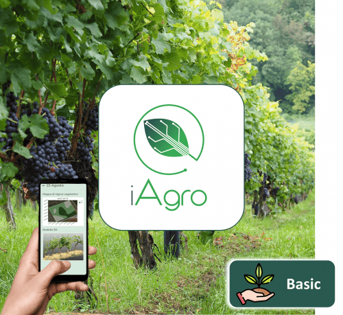
Basic
120€/year
- 1 production unit
- Up to 5 ha
- Up to 100 scans
- Weather forecasts and spraying windows
- Disease/insect prediction
- Diagnosis of diseases/insects
- Satellite maps and vegetation indices (2 years)
- Soil data
- CO2 absorption
- Data export and reports
- Yield map, count and fruit gauge
- Remote support
- In-field onboarding*
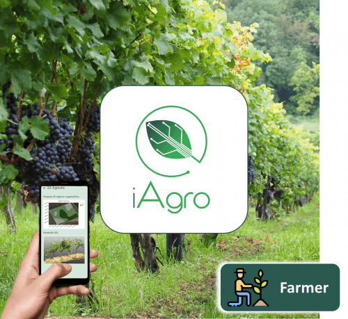
Farmer
250€/year
- 1 production unit
- Up to 25 ha
- Up to 500 scans
- Weather forecasts and spraying windows
- Disease/insect prediction
- Diagnosis of diseases/insects
- Satellite maps and vegetation indices (2 years)
- Soil data
- CO2 absorption
- Data export and reports
- Yield map, count and fruit gauge
- Remote support
- In-field onboarding*
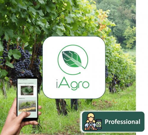
Professional
390€/year
- 10 production units
- Up to 50 ha
- Up to 1000 scans
- Weather forecasts and spraying windows
- Disease/insect prediction
- Diagnosis of diseases/insects
- Satellite maps and vegetation indices (2 years)
- Soil data
- CO2 absorption
- Data export and reports
- Yield map, count and fruit gauge
- Remote support
- In-field onboarding
Enterprise
790€/year
- 25 production units
- Up to 100 ha
- Up to 2000 scans
- Weather forecasts and spraying windows
- Disease/insect prediction
- Diagnosis of diseases/insects
- Satellite maps and vegetation indices (2 years)
- Soil data
- CO2 absorption
- Data export and reports
- Yield map, count and fruit gauge
- Remote support
- In-field onboarding
Prices shown are exclusive of VAT.
*service on request