


All our land imaging solutions to improve your farm performance and provide you with a decision support system in the field!
All our land imaging solutions to improve your farm performance and provide you with a decision support system in the field!
Solutions for digital agriculture and precision farming
Solutions for precision agriculture: apps, DSS, drones, management, sensors
From the iAgro app to multispectral drones, field sensors to supply chain management platforms: all Agrobit solutions for farms, agronomists, technicians, cooperatives and agribusinesses. Agrobit combines mobile apps, drones, field sensors and management platforms into an integrated ecosystem for precision agriculture. Choose the right tools for your situation: whether you are a farmer, agronomist, cooperative, or agribusiness, start making decisions based on objective data to improve production, reducing waste and environmental impact.
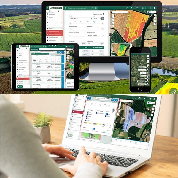
Image-based decision support systems (DSS)
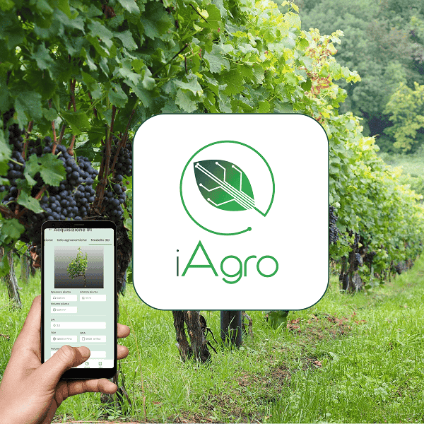
iAgro
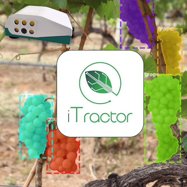
iTractor

iDrone
Drones and Sensors for Agriculture
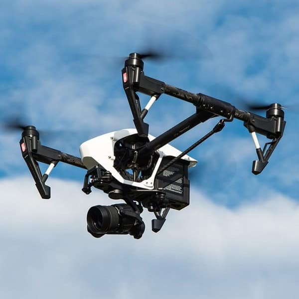
Drones

Sensors
Predictive Models and Field Sensors

Weather-based DSS
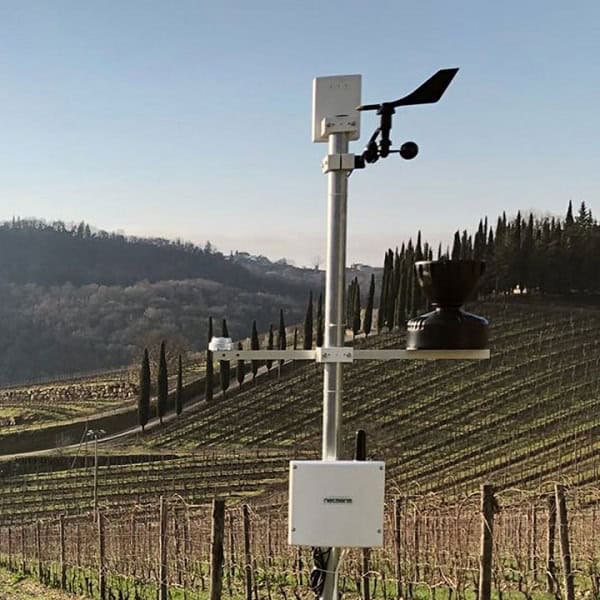
Field Sensors
Agricultural Management
Agricolus
Agritrack
Software
